'Largest-ever' lithium exploration campaign launched in the DRC
US-based firm KoBold Metals' campaign will span 13 licences and make use of artificial intelligence.
The licences cover more than 3,000km2, and KoBold expects to expand its position to 5,000km2 by the end of the year.
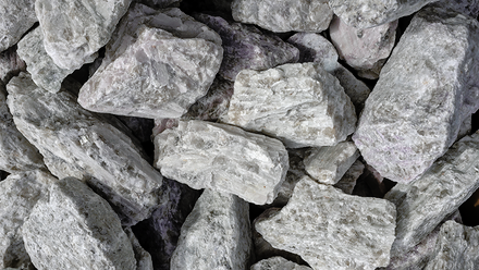
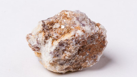
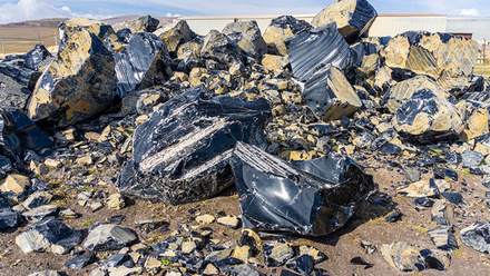
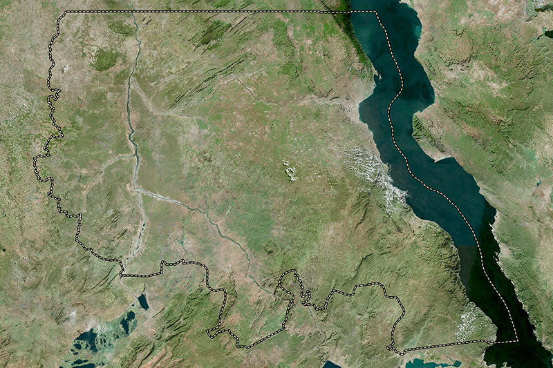
A core area is Manono in Tanganyika Province, which hosts some of the highest-grade lithium pegmatite ore. It has historically been mined for tin, and reissued area licenses in 2012 focused on this with no mention of lithium.
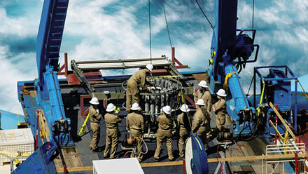
KoBold plans to deploy proprietary aerial sensors, a real-time targeting artificial intelligence (AI) system and an onsite laboratory to map lithium reserves in Manono and surrounding areas in the Tanganyika and Katanga regions.
The campaign will cover 30,000km2 of airborne surveying by KoBold’s proprietary Hyperpod sensor system, thousands of drill holes across a simultaneous multi-rig programme and 30,000 geochemical samples tested for more than 45 elements.
The company has committed US$50mln by the first quarter of 2027, with US$20mln already paid to the DRC Treasury.
The proprietary Hyperpod sensor package integrates a 250-million-pixel RGB camera, hyperspectral imaging across over 650 wavelengths, LiDAR for mapping sub-centimetre topography and radiometric sensors. This can be mounted on most available aircraft.
Its aim is to identify geological signatures of mineral deposits using machine learning models, which will be trained on known deposits to identify analogous signatures.
KoBold also plans to deploy airborne gravity gradiometry. This measures minute variations in the Earth’s gravitational field from the air to help map subsurface geology at depth, without drilling.
Meanwhile, the onsite MetaLab will crush, dry, sift and chemically analyse soil samples and deliver results in a matter of days, without having to ship samples to an external laboratory. An AI system can then update the field sampling plan weekly to redirect geologists towards the highest-priority targets.
This is part of a broader initiative to digitise and make DRC geological data publicly accessible, in partnership with the DRC Geological Survey, Mining Cadastre and University of Lubumbashi.